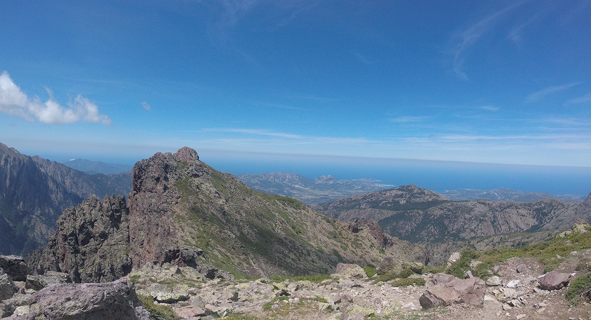
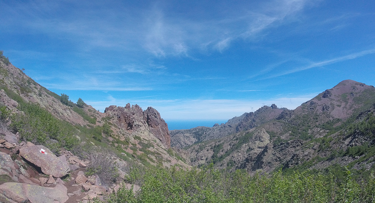
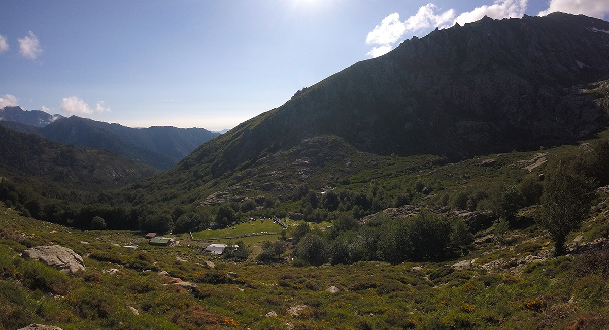
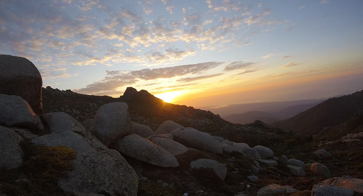
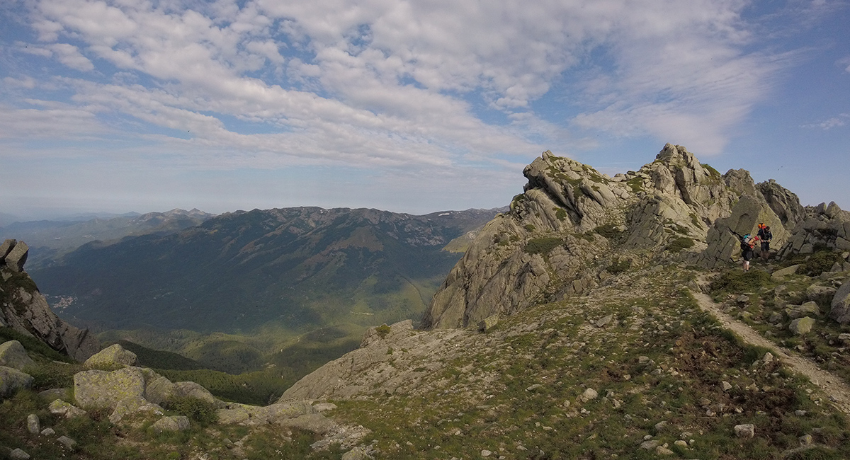
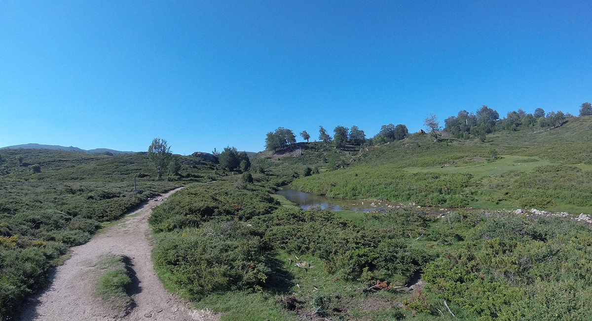
180 km through the Corsican mountains: who has never dreamed of hiking in an alpine landscape, while enjoying a breathtaking view of the sea? The GR20, long-distance hiking trail, gives you the opportunity to do so, on multiple occasions. A sporty challenge for some, an inaccessible dream for others, the GR20 and its history have been the subject of ink for several decades. From North to South, or vice versa, the GR20 takes you through the most sumptuous landscapes of the Island of Beauty over more than 180 km where you can approach the highest peaks of Corsica. From Calenzana to Conca, we make you discover this emblematic trek in Europe, renowned for its difficulty and its scenery which must be deserved! Itinerary, physical preparation, budget, accommodation, we explain to you everything you need to know about the GR20!
The GR20 from North to South: from Calenzana to Conca
Stage 1 : Calenzana - Refuge d'Ortu di O Piubbu
The time has come for you to leave the sunny coasts of Calvi and start, from Calenzana, the famous path of the GR20 and its well-known red and white markers. We advise you to sleep the day before your departure at the Calenzana stopover lodge (night in a dormitory possible if you arrive early or bivouac in the adjoining meadow), first step in your adventure and last evening in civilization. You will be able to leave very early the next morning and avoid the sometimes suffocating heat during the months of July and August. In the early morning, waking up between 5 a.m. and 6 a.m., the excitement is at its pic and the other hikers, who are going to embark on this adventure with you, are treading their feet with impatience. For some, the Ortu di u Piubbu refuge will mark the end of the first stage, for others it will only be a midday stopover!
From Calenzana, the GR20 begins with a charming mule track that will take you to Capu di u Ravalente at 616 m. You rise slowly but surely from the coast and from Calvi to enter the Corsican mountains, known to be hostile in this northern part. The path rises again to reach the Bocca au Saltu (1,250 m) which marks the start of the real GR20. After a few curves in the forest, the GR20 begins to show its true face, between rough terrain, steep slopes and rocky grounds to cross. The first difficulties are felt, especially in rainy weather or at the very beginning of the season because the rock slabs become slippery. A few handrails help you through the first rocky part to reach Bocca au Bazzichellu (1,486m). When bad weather and fog are part of the game, be careful! You will then continue under the Fucu ridge and cross the valley to reach the refuge of Ortu di u Piubbu (1,550 m).
- Duration: 5 h to 7 h
- Distance: 12.2 km
- D+: 1,510 m / D-: 300 m
Stage 2 : Ortu di O Piubbu refuge - Carrozu refuge
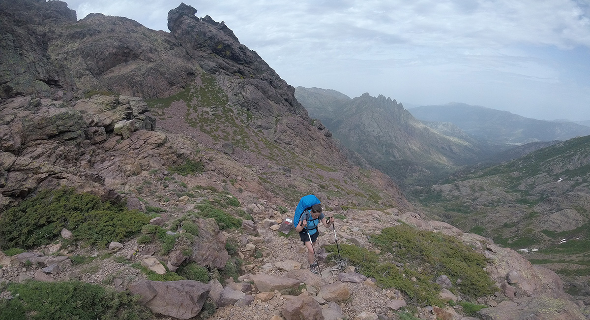
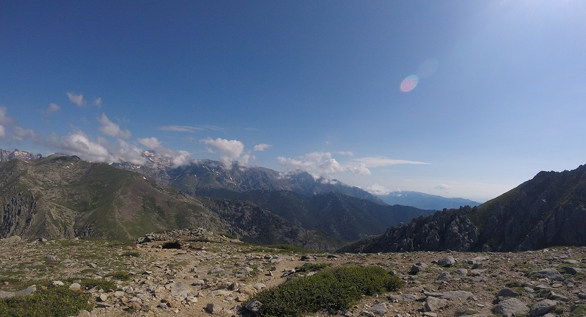
5 hrs, sun rises on the refuge of Ortu di u Piubbu, and it's time to head towards the Carrozu refuge. Your legs tingle slightly and the weight of your backpack may be starting to tickle your shoulders, but it's time to get up and head out for a great hike. Leaving from the Ortu di u Piubbu refuge, you will cross a beautiful spring, so remember to fill your water bottle because there will be no others on the way! After the source, the path quickly rises through a forest of birches, on beautiful rocky path and then descends on the other side of the valley. Once past the stream, the objective is to reach Bocca Pisciaghja before the last step at Capu Ladroncellu (2,145m). Crossing the scree, you will have to hook your hiking poles to your backpack several times and help yourself with your hands to climb. At the top, the view is breathtaking on the highest mountain of Corsica! The hardest part is not yet over, you will then have to cross a rocky ridge made up of multiple gaps in which the GR20 interferes. Aerial and annoying, this passage can scare more than one! Once you have reached Bocca Avartoli, a long, tiering descent awaits you to reach the Carrozu refuge (1,270 m), at the bottom of the valley, hidden in the forest.
- Duration: 6 to 7 h
- Distance: 9 km
- D+: 900 m / D-: 1,180 m
Stage 3 : Refuge de Carrozu - Refuge d'Ascu Stagnu
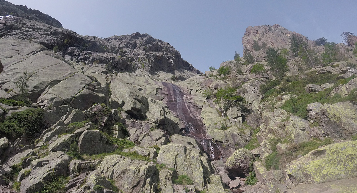
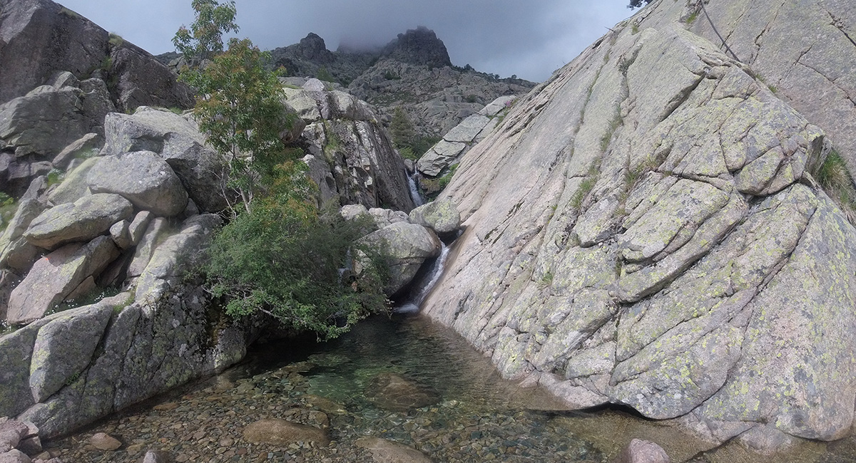
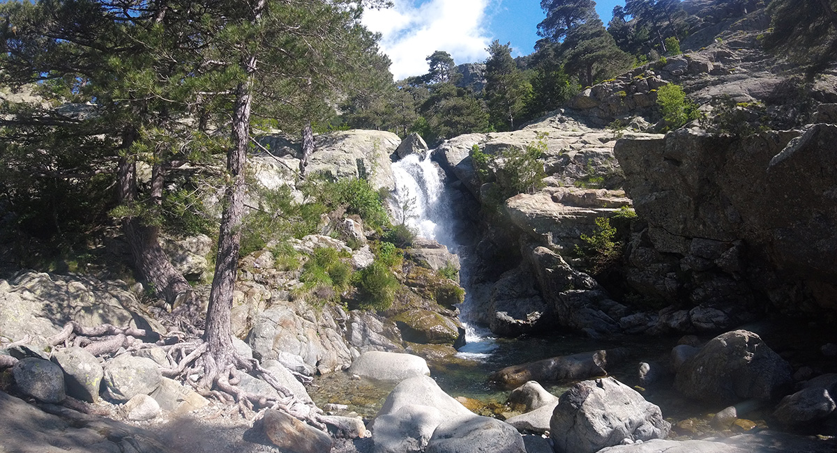
Stage 3 is undoubtedly one of the most beautiful of this GR20 ! Departing from the small Carrozu refuge, you begin with a descent towards the suspended footbridge of Spasimata. Once you have crossed this footbridge, a long climb awaits you to reach Lake Muvrella and then, even higher, the highest point of the stage. The water flows freely on the large slabs in pink colors. You will then realize how mineral the GR20 is. Few or no shadows, and the heat reflecting off the surrounding slabs, you will understand that the earlier you leave, the better the temperatures will be! You will be able to contemplate the beautiful waterfall of Spasimata and be amazed! Lake Muvrella (1,860 m) offers you a popular stopover for a picnic or a snack, before setting off to attack the pass. At the start of the season, a large snowfield may persist, as it was the case for us, from Lake Muvrella to Bocca Muvrella. Specific equipment (crampons and ice axes) is recommended if the tracks are not yet traced. The highest passage reached, you will then have to take a long descent in a scree at the beginning then a rugged path to reach the Ascu Stagnu refuge, at the Haut Asco ski resort.
- Duration: 5 h to 6 h 10
- Distance: 6.1 km
- D+: 930 m / D-: 750 m
Stage 4 : Refuge d'Ascu - Refuge de Tighjettu
Departing from the refuge d'Ascu, this stage can be hard on your legs , because it turns out to be quite tricky. At the start of the season, large snowfields on both sides can persist, making this stage very technical. Crampons and ice axes are a must to avoid taking unnecessary risks if you want to achieve the GR20 in its entirety, without a big scare. Don't forget that a fall in a firn can be fatal because the slopes offer a significant drop. This stage marks the opportunity to climb Monte Cinto (2,706 m) for the bravest, highest peak in Corsica. Note that the Cirque de la Solitude reopened in 2018 and is once again accessible to the public. Vigilance is essential to avoid any accident on this extremely delicate passage.
- Duration: 7 h 15 to 8 h
- Distance: 9 km
- D+: 1,300 m / D-: 1,050 m
Stage 5 : Tighjettu refuge - Ciottulu di i Mori refuge
The 5th stage is shorter and appreciated after these beautiful intense days, but allows you to admire real natural gems. The bucolic walk to the sheepfolds of Vallone is followed by a portion on the flan and a beautiful climb to Bocca di Fuciale (1,962 m). If the weather conditions are bad, avoid venturing on this path. The rock slabs are very slippery and can cause an accident at any time, whether you take them uphill or downhill. There is no handrail on this portion! At the start of the season, snowfields may persist in some places, so take your time to cross them safely. Once you have reached the top, you can see the Ciottulu di i Mori refuge (1,962 m), the highest refuge in Corsica, in the distance. You still have about fifteen minutes to walk on a balcony path to reach it. The view is simply splendid, one of our favourite shelters for the bivouac!
- Duration: 3 h 15 to 4 h 30
- Distance: 7.1 km
- D+: 810 m / D-: 480 m
Stage 6 : Ciottulu di i Mori refuge - Manganu refuge
Your legs are now used to your daily 15 km hike. Stage 6 is the longest stage of this GR20 and undoubtedly one of the most beautiful, as the diversity of the landscapes crossed is incredible. Nevertheless, on the contrary to the first stages carried out, stage 6, is certainly longer but does not present any particular technical difficulties. For those who would be frightened by such a stage, it is also possible to split it into two stages, stopping at Castel de Vergio. The stage begins with a balcony path, then a beautiful descent along a stream towards Castel de Vergio, another ski resort in Corsica. Past the Castel de Vergio, you will continue the GR20 through a beautiful forest, on a balcony path with no major difficulties, towards Lake Ninu. You will then come across other day hikers who come to discover this lake by taking part of the GR20. The path continues and rises little by little, through the pines, to reach Bocca San Petru (1,452 m). If the weather is good, then you can see the famous trees that grow in the direction of the wind. The path continues to rise more gradually to reach Bocca a Reta before descending to Lake Ninu (1,760 m) and its pozzines. You will then circumvent the lake in the direction of the sheepfolds of Vaccaghja and then the refuge of Manganu (1,600 m).
- Duration: 7 h 45 to 10 h 00
- Distance: 25.6 km
- D+: 1,110 m / D-: 1,450 m
Stage 7: Refuge de Manganu - Refuge de Petra Piana
The stage begins with a long walk towards the Cortenais mountains that asks for your full attention and concentration. The Capitello breach dominates the Melo and Capitello lakes and its walls are the playground of a few brave climbers. After the steepness of this climb, the view of the Petra Piana refuge is reassuring! You will have to descend the Bocca Muzzela before reaching the first refuge built for the GR20. The last meters that lead to Bocca Alle Porte require extreme vigilance. The snow is always very present at this place, so do not hesitate to use the chains and ropes, made available for you on this uneven section.
- Duration: 4 h 45 to 6 h 30
- Distance: 10.7 km
- D+: 1,000 m / D-: 760 m
Stage 8 : Petra Piana Refuge - Onda Refuge
The 8th stage of your journey offers two possibilities. You can follow the traditional markings of the path which leads to the sheepfolds of Ghjalgu and to the stream of Manganellu. The path then continues, through a pine forest, to the Tolla footbridge, where you can swim. From this bridge, then count 2 hours of climbing to reach the Onda refuge. Another, more alpine alternative is offered to you, with a passage on the crests. Nevertheless, this shorter route is not recommanded at the start of the season because of the many snowy passages.
- Duration: 3 h 45 to 4 h 45
- Distance: 10.7 km
- D+: 580 m / D-: 980 m
Stage 9: Refuge d'Onda - Vizzavona
You arrive almost halfway through the GR20. The Onda refuge offers a magnificent panorama of the tip of Muratellu and is renowned for offering the best restoration of the GR20! At the very beginning of the route, you will have to go up towards the ridge left the day before to join the GR20 path (the Onda refuge is below the path). Then begins a beautiful climb towards the breach of Muratellu to reach Punta Muratellu (2,141 m) to pass on the other side of the mountain and descend towards Vizzavona. Punta Muratellu (2,141 m) reached, some snowfields may persist, on the Vizzavona side, so be careful when crossing the first rocky slabs. The descent to Vizzavona proves to be hard on your legs, but the arrival at the Cascade des Anglais (1,150 m) will be mind-blowing. The opportunity to take a dip if the weather allows it and admire the beauty of nature! Your path continues, either in the direction of the Col de Vizzavona, or in the city centre, depending on the accommodation chosen.
- Duration: 4h45 to 6h30
- Distance: 11.4 km
- D+: 760 m / D-: 1,330 m
Stage 10: Vizzavona - Gîte d'u Fugu (E Capanelle refuge)
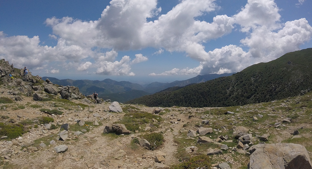
The northern part is behind you and the beautiful south balcony paths are waiting for you, which, however, they will give you a hard time! From Vizzavona, you will take what we can call your first real path since the start of the GR20. Through the forest, the GR20 trail rises gradually but surely towards Bocca Palmente (1,640 m). The trail then gradually descends towards the Sambuccu forest. Shortly after this passage, you will pass near the sheepfolds of Alzeta (1,553 m), with red shutters. A source is also nearby. The path offers unique views of the nearby sea and takes on verdant colors that are quite different from the rocky parts of the North. When you reach the sheepfolds of E Scarpaceghje, you will have to tackle a beautiful climb to reach the refuge of E Capanelle (1,588 m) or the more spacious and pleasant U Fugu lodge, located just next door. The cottage offers several tables outside, with sea view, very pleasant for dinner and tasting the Pietra!
- Duration: 4 h15 to 5 h 30
- Distance: 14.3 km
- D+: 1,030 m / D-: 400 m
Stage 11: U Fugu Lodge (E Capanelle refuge) - Prati refuge
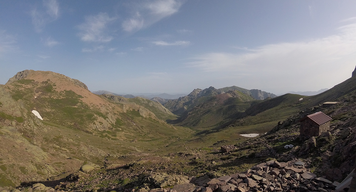
In the early morning, you leave the gîte of u Fugu by a small uneven path, which could well play tricks on your ankles! The path descends into the valley towards the sheepfolds of Traggette (about 30 minutes from the gîte). The path continues towards the plateau of Ghjalgone (1,591 m), victim some time ago of fires, which you will cross before continuing through a charming forest of beech and pine trees towards Col de Verde. If you wish, you can stop at the Relais du Col to spend a more comfortable night there, with guaranteed hot showers! You will then cross the road (D69) towards the Prati refuge. A beautiful, very steep climb in the forest awaits you then in the open to reach the Bocca d'Oru (1,840 m), a few kilometers from the refuge. The opportunity, if the weather is clear, to observe Monte d'Oro and Monte Renoso! You will then have about twenty minutes left, on a relatively flat path, to reach the Prati refuge (1,820 m) where the view of the sea will simply leave you speechless!
- Duration: 5 h 30 to 7 h 00
- Distance: 18.1 km
- D+: 1,100 m / D-: 880 m
Stage 12: Refuge de Prati - Refuge d'Usciolu
Stage 12 of your hike is a fabulous line of ridge and will take you to Punta Cappella, 2,041 m above sea level. In case of bad weather, it will be necessary to be extremely vigilant, even to postpone this stage by one day, because the accident can happen quickly and the shelters on the route do not exist. In case of rain, the trail becomes very slippery, making your progress difficult if not impossible. Once past Punta Cappella, the trail continues towards Bocca di Laparo (1,525 m), walking on the eastern and western sides of the ridge, sometimes on rocky parts, sometimes on rolling parts. A beautiful climb in a beech forest awaits you to reach Punta Bianca (1,954 m). There, you will then follow a beautiful portion on the ridge before descending via a rugged path to the Usciolu refuge (1,750 m).
- Duration: 5 h 30 to 7 h 00
- Distance: 11.5 km
- D+: 1,040 m / D-: 1,130 m
Stage 13 : Usciolu refuge - Sheepfolds of i Croci
You thought you were done with the Alpine ridges? Come on, it's still the GR20 you're doing… Leaving from Usciolu, the trail on the alpine ridges continues, for a few more hours, on the di Monda ridge. You will then continue with a long descent towards the plateau of Cuscionu which you will cross, passing, on the way, by the sheepfolds of Bassetta then the sheepfolds of Matalaza. You will then discover this Corsica which can be green! The sheepfolds of Croci, with a panorama of the summits of the North, now far away, will allow you to make a stopover between Usciolu and Asinau.
- Duration: 5 h to 6 h 30
- Distance: 14.7 km
- D+: 790 m / D-: 900 m
Stage 14: Sheepfolds of i Croci - Refuge d'Asinau
The end is finally felt, and now, climbing on the highest peak in southern Corsica, Monte Incudine (2,134 m), will prove to be child's game! The path takes the form of a wide path, without difficulty, which gradually rises to the Col. On the other side, you can see the refuge of Asinau and in the distance the famous needles of Bavella which takes shape. After a long descent of 1h30 in a difficult scree, worthy of the most beautiful scree in the northern part, you will finally arrive at the Asinau refuge (1,536 m).
- Duration: 2 h 45 to 3 h 30
- Distance: 7.3 km
- D+: 550 m / D-: 560 m
Stage 15 : Asinau refuge - Paliri refuge
This ultimate stage will also offer you two possibilities. The alpine variant, shorter but also more technical and difficult, will take you to the heart of the Aiguilles de Bavella and will be worthy of the northern stages with some tricky passages. This variant is marked with yellow markings. If your backpack is starting to weigh on your shoulders and your heart tells you to do so, prefer to opt for the other route, marked out in red and white, through the forest to circumvent the Aiguilles de Bavella. On a level curve, this trail remains more accessible and less technical, although it can be just as gruelling in hot weather. Once you have reached the Bavella pass, you will have about 2 hours of walking left to reach the Paliri refuge (1,055 m), the exit!
- Duration: 5 h 15 to 6 h 45
- Distance: 15.7 km
- D+: 840 m / D-: 1,300 m
Stage 16 : Paliri Refuge - Conca
Leaving Paliri, you will turn around and take a look at the kilometres travelled. However, nostalgia will quickly give way to the desire to put an end to this Corsican journey! The terrain you will travel is uneven and consists of dense vegetation as well as sandy paths. The stage clearly presents a descending profile, which will only be a formality after what you have gone through. After passing through Bocca d'Usciolu, the benevolent Conca will be ready to welcome you and celebrate your triumphant arrival. The Corsican mountains will not have overcome your determination. You will then arrive at the end of the mythical GR20.
- Duration: 5 to 6 h
- Distance: 14 km
- D+: 530 m / D-: 1,320 m
When to do the GR20?
As you will have understood, the GR20 is a long-distance hiking trail that can be travelled when the refuges are open, because bivouacs in Corsica are prohibited. Between the beginning of May and the end of September, it is possible to set off on the GR20! July and August remain the hottest months, during which you are not likely to find yourself facing a snowfield. These are also the hottest months in Corsica, the springs can be dried up, so you will have to pay close attention to your water supply so as not to run out. The month of June is ideal because the temperatures are mild, and the weather is rather nice. It is also the busiest month. At the very beginning of the season or at the very end of the season, it will be advisable to equip yourself with crampons and ice axes, to pass, without difficulty, the most technical passages on which the snowfields persist.
Equipment for the GR20
The GR20 is not just a walk in the park. It is important to be perfectly equipped in order to have the best possible experience on site. It is quite possible to reach the valley in case of difficulty on most of the route, but you will not encounter any shops or towns on your way. The network is also very bad on the whole course. Whether you sleep in a tent or in a refuge, you should bring appropriate clothing, shoes and technical equipment for the high mountains. We invite you to read our article Checklist equipment: GR20 or to ask us your questions in the comments of this article. Also, to make it easier for you, we have selected, with our partner Millet, an ideal men's and women's outfit for carrying out the GR20.
Your Millet collection for the day
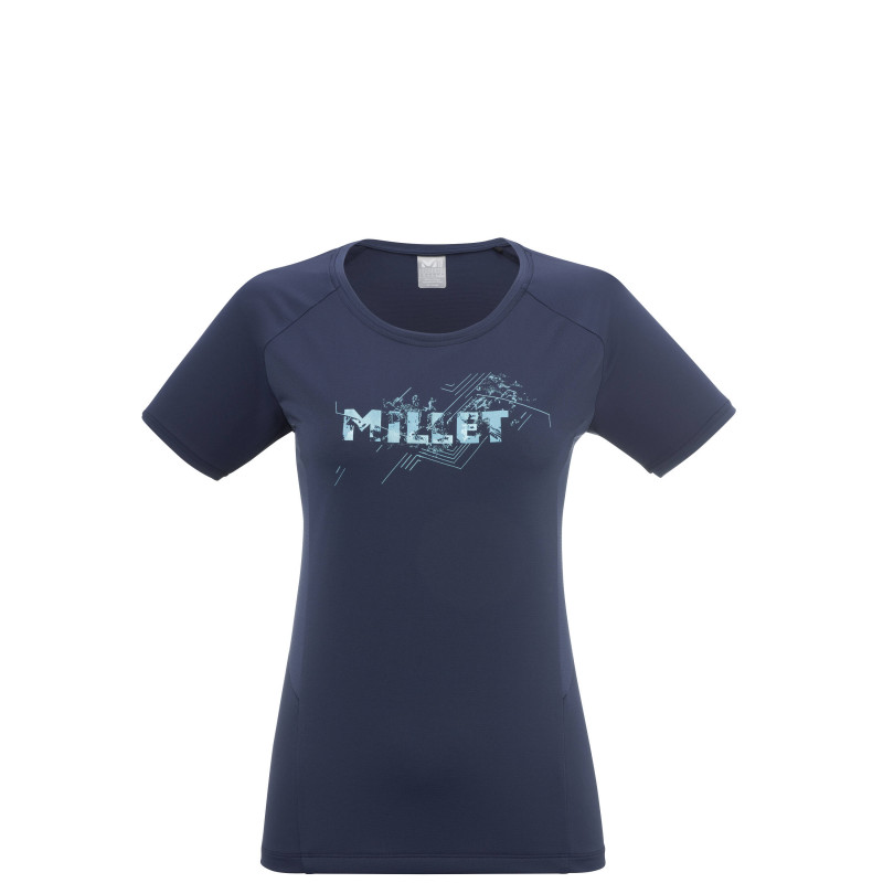
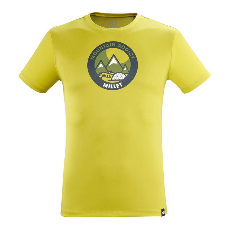
Equipped with Drynamic™ technology which allows optimal moisture transfer and rapid drying, the LTK Fast is the ideal partner for a trek such as the GR20.
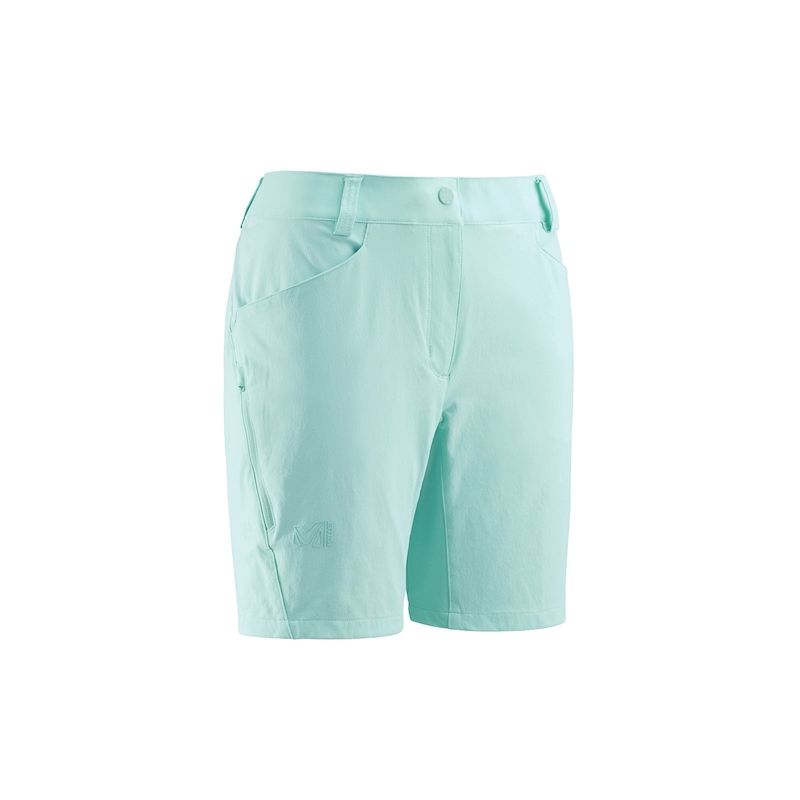
In the same vein, the LD Trekker Stretch Short offers excellent stretch and very good abrasion resistance. With its anti-UV coating, it provides very important protection for progressing with complete peace of mind on the exposed trails of the GR20.
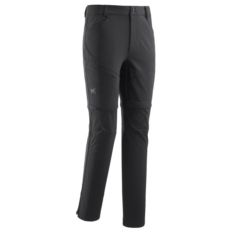
When the weather is more gloomy on the GR20 trails, the Trekker Stretch Zip Off Pant effectively protect against the wind while providing remarkable moisture wicking capacity and good abrasion resistance. Cherry on the cake, it turns into shorts in the blink of an eye when the sun reappears.
➤ Clothing Millet - Shop
Your Millet collection for the evening
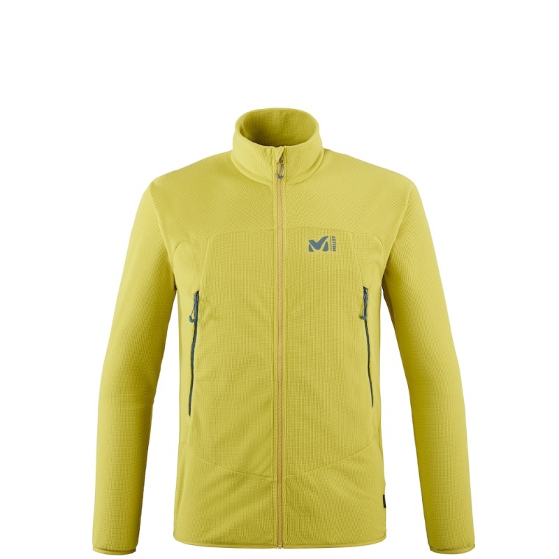
When the temperatures cool down at the end of the day, the K Lightgrid Jkt M provides ideal thermal insulation. Comfortable, flexible, light and effectively keeping away sweat, this Millet second layer will be perfect for both evenings in the tent and in the refuge.
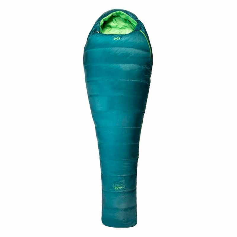
If you plan to do the GR 20 independently (i.e. in a tent), in July or August when the temperatures are high, then the sleeping bag Light Down 0° will be a completely suitable night companion. Above all, all Millet duvets benefit from the hydrophobic K Dry® Down treatment which allows them to effectively resist the humidity and condensation that naturally forms under the tent.
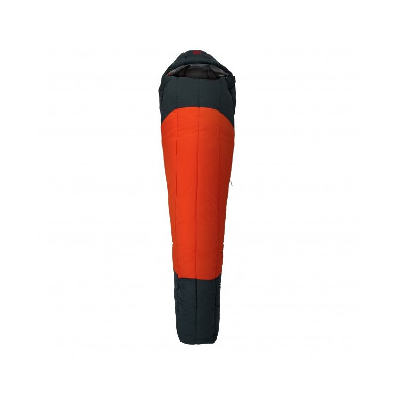
For those who prepare the GR 20 in June or September, when the temperatures are cooler, then we recommend that you equip yourself with the Syntek -5° Reg. Warmer, they will bring you the necessary comfort after long days of walking.
➤ Equipment Millet - Shop
Your Millet collection for bad weather
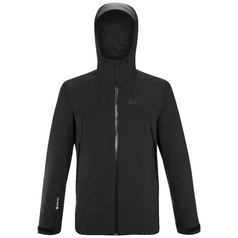
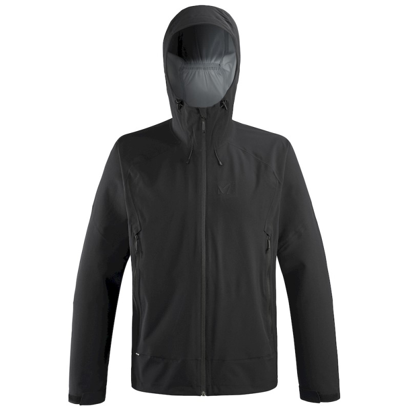
Simply essential for a trek, and in particular the GR20 and its unpredictable summer storms, Millet waterproof jackets are as protective as they are compact. Sufficiently waterproof and breathable to face bad weather, the Grands Montets II GTX Jkt is equipped with a Gore-Tex membrane, the guarantee of well-protected hiking. Lighter, the Fitz Roy Stretch Jacket ensures optimal freedom of movement and breathability to move easily on tough trails.
What physical preparation to complete the GR20
It's no secret that good physical and mental preparation is essential to carry out the event that is the GR20. It is necessary that you get used to the altitude and take long walks beforehand. The regular practice of an endurance sport is strongly recommended in order to approach your hike in the best possible conditions. Running, cycling, swimming and of course walking are all sports activities that improve your breath and your muscular endurance. A good workout is to hike a 1000-1500m drop two days in a row to get a taste of what the GR20 has in store. The record holder Guillaume Peretti declares for his part that the GR20 is prepared a year in advance... You know what you have to do! If you are doing this hike with several people, it is essential that the level of the group is as homogeneous as possible. Indeed, the Corsican path imposes a steady pace for many days. A person unable to pursue would penalize the team as a whole and slow it down greatly. Some groups are even forced to give up the hike because of one of their members... You understand, the GR20 should not be taken lightly, it induces an absolute mental commitment.
Accommodation, catering and budget
We have detailed the official itinerary for you in 16 days, but the GR20 is prepared individually, according to your desires and your physical abilities. Some realize it in 5 days, others in 8 days and others in 16 days. We have detailed the official route that many hikers take, sleeping in the various refuges of the GR20. Other great alternatives to refuges, the sheepfolds, which punctuate the GR20, also offer welcoming dormitories and bivouac spaces, quality catering and hot water (unlike refuges in which the water is frozen!).
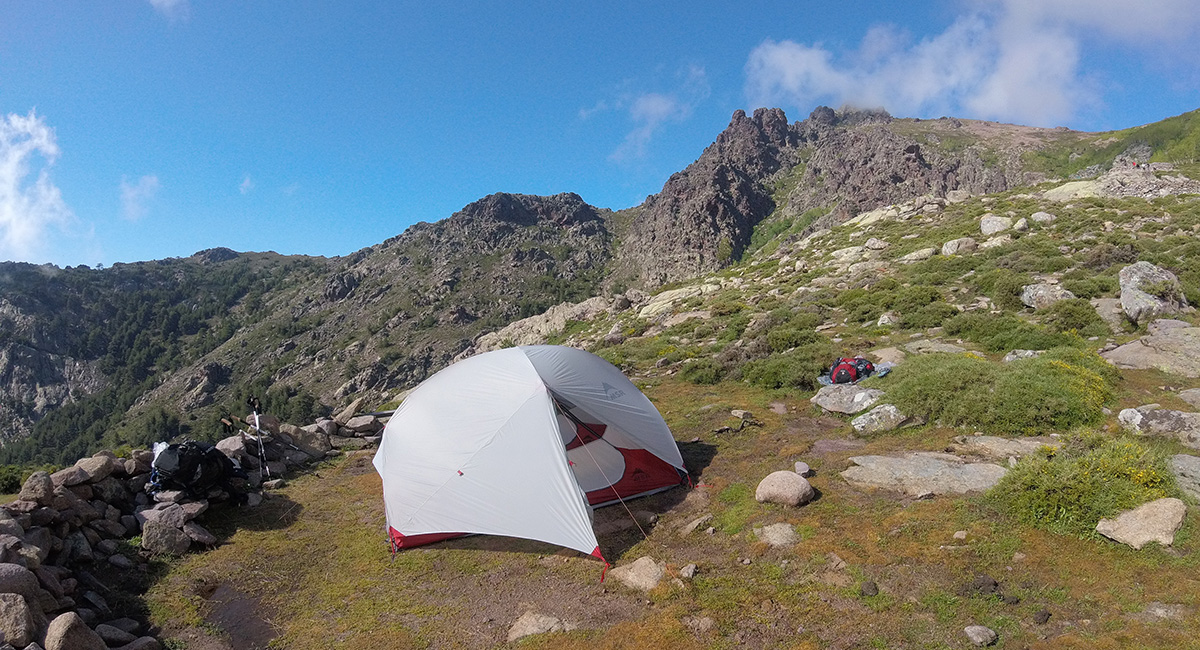
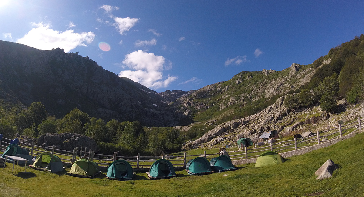
If you plan to sleep every night in a refuge, book your place in advance on the internet or arrive early enough to have room! If you wish to sleep in a tent, you have two options: either you rent a tent at the refuge (Quechua tent), or you take your own equipment and pitch the tent in the authorized bivouac area. We advise you, in any case, to arrive early enough at the refuge to benefit from the best places for your tent.
In terms of catering, meals are generally served around 6:30 p.m. in the evening. As soon as you arrive at the refuge, go to the caretaker to reserve the meal, it happened to us that it was full and that we could not eat! The refuges provide gas stoves for the bivouacs to heat up your food. Just remember to bring a saucepan to heat your water. In each of the refuges, it is possible to order platters of charcuterie, sign up for breakfast and buy meals for lunch (pasta salade...). It is also possible to buy some biscuits for the rest of the journey (sort of small grocery store).
On the budget side, it all depends on how you plan to achieve the GR20. If you join a group with a guide, count about €1,300 per person (for 15 days) all inclusive, excluding the purchase of your equipment. Count around 20 euros for the evening meal and 8 euros for breakfast if you eat in a refuge. The price for a night in a refuge is 15 euros, while a tent pitch will cost you 6 euros per person. In short, this hike can quickly become a luxury!
Comments or questions about the GR 20? Tell us how you prepare this mythical trail or if you think there is information missing from this article! And if you have any questions, don't hesitate to contact our HardGuides directly via the Help Center or by phone on the +33 (0) 1 84 67 14 24 ! We will be happy to answer all your questions!
➤ Hiking clothes & equipment - Shop
Photo credits : ©Hardloop
