
It is an old model or a product that we can no longer order at the manufacturer.


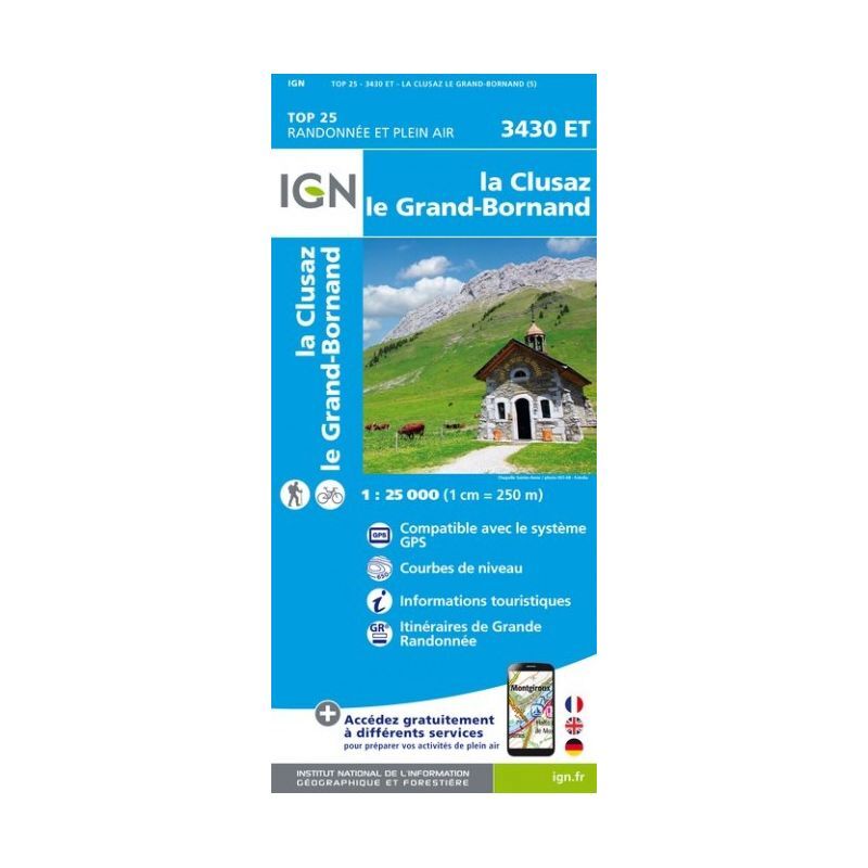


IGNLa Clusaz / Grand-Bornand





If you plan to go hiking or trekking in this area, the IGN topographic map La Clusaz / Grand-Bornand will be a valuable ally for preparing and experiencing your adventure. Highly precise, this IGN map (scale 1:25,000) contains all the necessary details to navigate the trails and communication routes of La Clusaz and Grand-Bornand. Represented by contour lines, you can visualize the terrain's relief. With this IGN map, you can discover many of the area's treasures: watercourses, woods, isolated trees, and other remarkable sites... More than just a map to help you find your way, this IGN map is, in our opinion, essential in your backpack and in your hands if you plan to go on an expedition in this area!
- Long-Distance Hiking Trails
- Compatible with GPS systems
- Tourist information
- Contour lines
- Dimensions: 96 x 132 cm
- Scale: 1:25,000 (1 cm = 250 m)


