

IGNAnnot.Saint-André-Les-Alpes.Pnr Du Verdon
CHF 14,00
VAT and custom duties includedFree delivery on orders over CHF 150Fr. 31 July - Sa. 01 Aug.
Free return under 100 days
+1,000,000 equipped adventurers
Expert advice
Product(s) linked to this item


Need advice?Ask our HardGuides!

ArnaudOutdoor expert
Whether it's for a few kilometers or a long exploration, the IGN topographical map Annot.Saint-André-Les-Alpes.Pnr Du Verdon will be a valuable ally in preparing and experiencing your adventure. Highly accurate, this IGN map (scale 1:25,000) contains all the necessary details to navigate the trails and roads of Annot.Saint-André-Les-Alpes.Pnr Du Verdon and discover its many treasures: terrain, waterways, shelters, and other remarkable sites... Beyond your sense of direction, this IGN hiking map is, in our opinion, indispensable in your backpack and in your hands!
Description
Recommanded useHiking / Trekking / Travel
ItemAnnot.Saint-André-Les-Alpes.Pnr Du Verdon
LanguageFrench
Product(s) linked to this item
Need advice?Ask our HardGuides!
ArnaudOutdoor expert


IGN
Traversée De La Corse Gr20
CHF 9,90

IGN
Forêts de Fontainebleau et des Trois Pignons
CHF 11,20
CHF 14,00-20%

IGN
Forêt D'Iraty - Pic D'Orhy
CHF 14,00

IGN
Saint-Jean-De-Luz - Hendaye
CHF 14,00

IGN
Le Tréport.St-Valery-Sur-Somme.Baie De Somme
CHF 14,00

IGN
Massif du Sancy
CHF 14,00

IGN
Carpentras. Vaison La Romaine. Dentelles De Montmirail
CHF 14,00
IGN
Nasbinals / Monts D'Aubrac
CHF 14,00

IGN
Mont Ventoux
CHF 14,00

IGN
Salon-De-Provence / Miramas
CHF 14,00

IGN
Thonon - Evian - Lac Léman
CHF 14,00

IGN
Clermont / Creil / Forêt De Hez / Froidmont
CHF 14,00

IGN
Genève.Annemasse.Le Léman
CHF 14,00

IGN
Clermont L'Hérault
CHF 14,00

IGN
Les Trois Vallées.Modane.Pn De La Vanoise
CHF 14,00
Black Diamond
Pursuit 30 - Walking backpack - Women's
CHF 88,06
CHF 150,00-41%
Black Diamond
Pursuit 30 - Walking backpack - Women's
CHF 87,96
CHF 150,00-41%
Eco-friendly
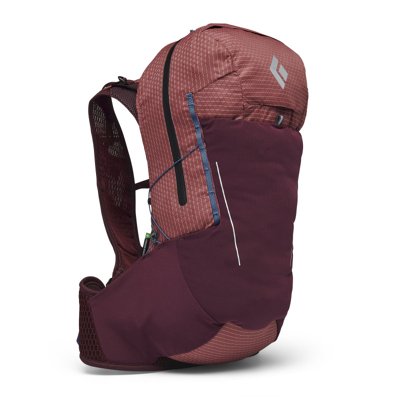
Black Diamond
Pursuit 15 - Mountain backpack - Women's
CHF 83,96
CHF 130,00-35%
Eco-friendly
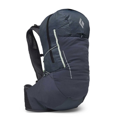
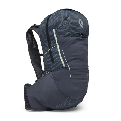
Black Diamond
Pursuit 30 - Mountain backpack - Women's
CHF 87,96
CHF 160,00-45%
Eco-friendly
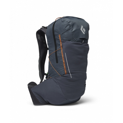
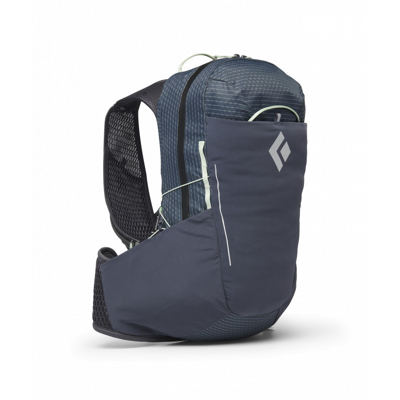
Black Diamond
Pursuit 30 - Mountain backpack - Men's
CHF 94,96
CHF 160,00-40%